

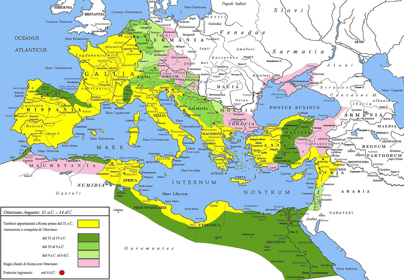
Image – Rome at the end of the Republic.


Here you have a ‘Google Maps’ of the Romans, mostly focusing on the cities and the roads they created.
Click on the image to access.

And then, another map of Roman roads, but this time Metro-style:
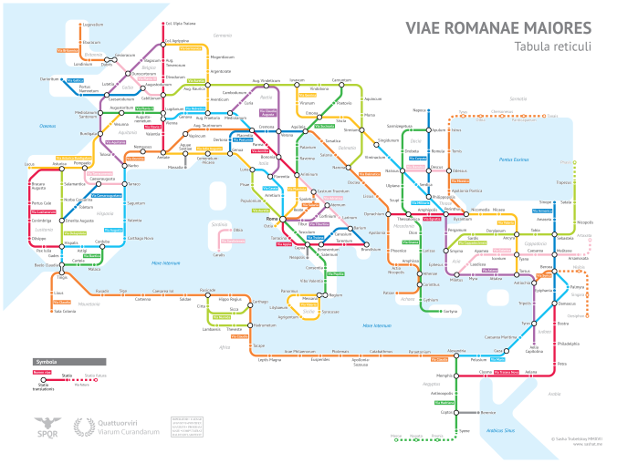
Image – Rome at the end of the Republic.
Here you have a ‘Google Maps’ of the Romans, mostly focusing on the cities and the roads they created.
Click on the image to access.
And then, another map of Roman roads, but this time Metro-style:

Pingback: Unit 6 – Table of contents | GEOGRAPHY AND HISTORY